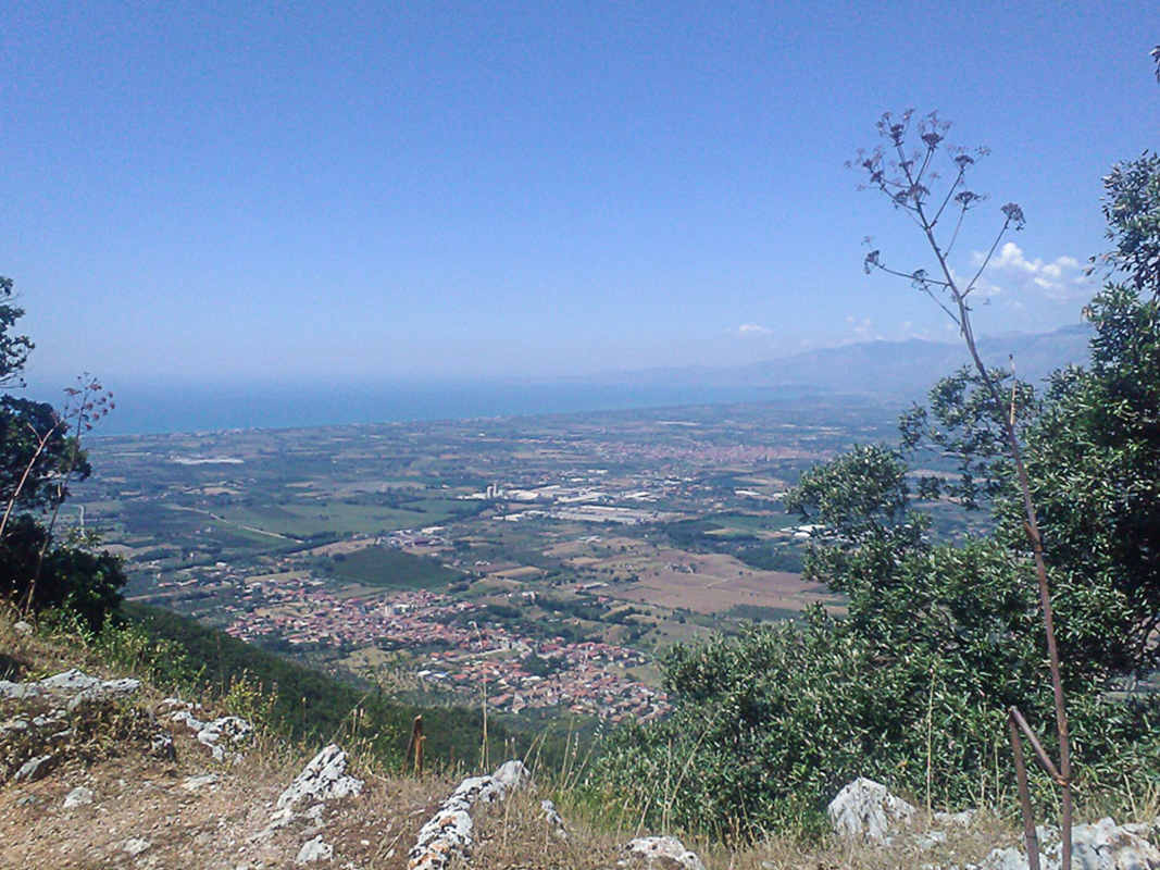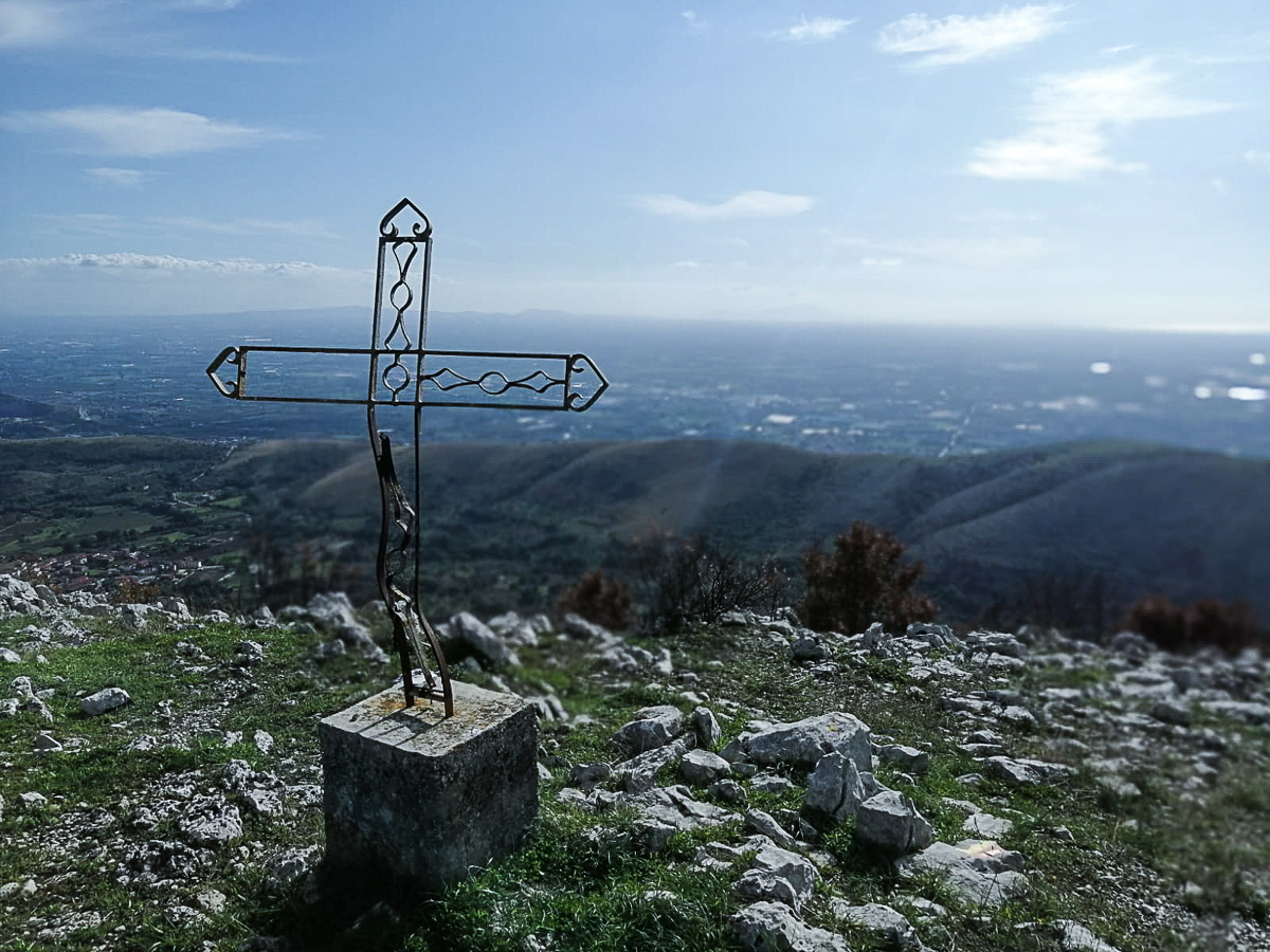
Mount Massico with its 813 meters is the highest relief of the mountain range which starts from the slopes of the Roccamonfina volcano and reaches the Tyrrhenian Sea.
For the ancients, it was the river of the myth, which gave forgetfulness to whoever drunk its water.

It starts in the area of Frosinone from the confluence between the Liri, which first crosses Abruzzo and Lazio, and the Gari, which rises at Cassino and is often called Liri-Garigliano.
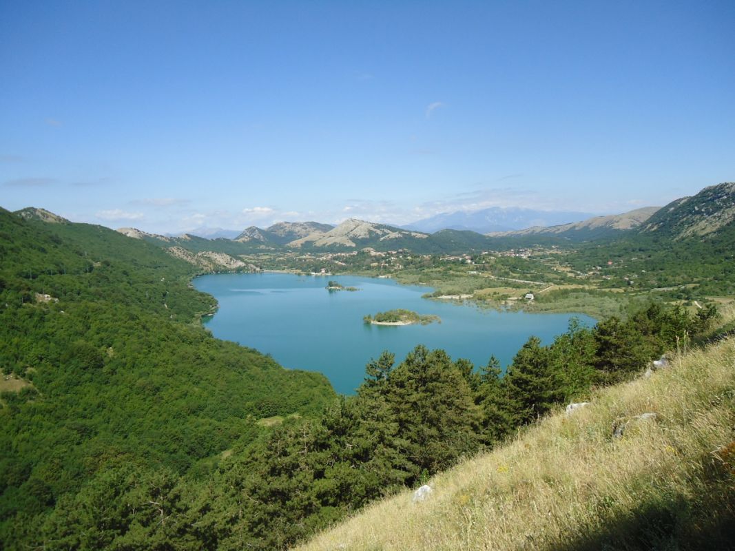
With a surface of over 1500 square kilometers, the limestone massif of Matese stretches between Molise and Campania and falls within the territory of four provinces.
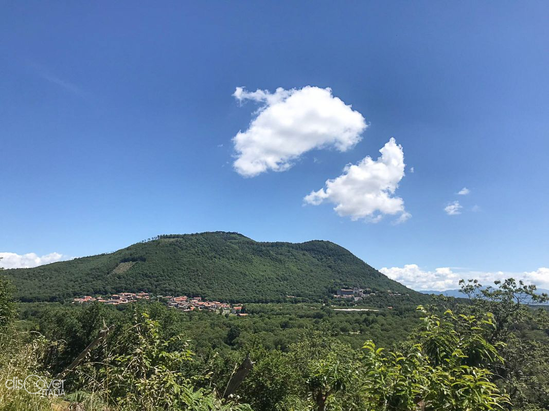
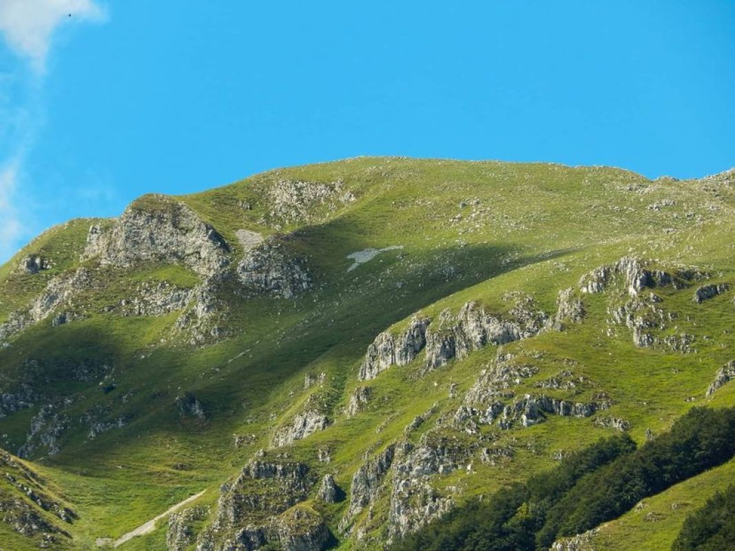
Although its name derives from the Oscan word tifata, which means holm oak, Mount Tifata is largely barren, except for the woods surrounding the northern side.

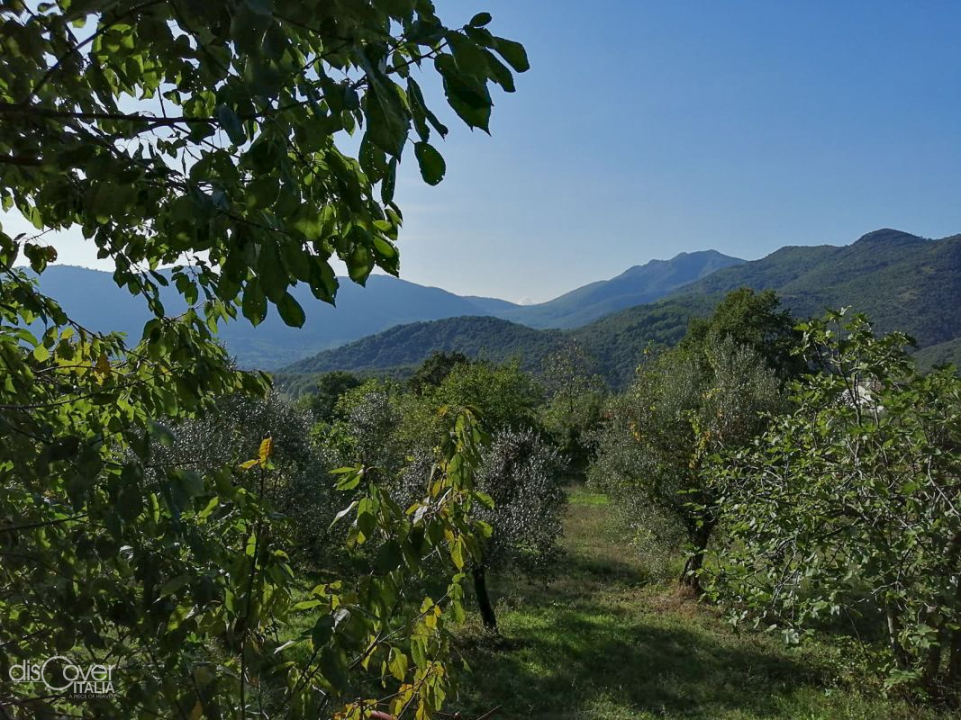
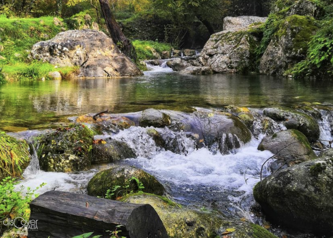
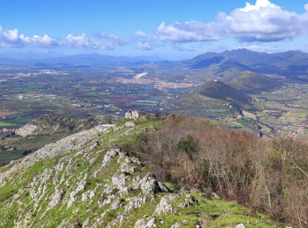
The extinct volcano of Roccamonfina is the heart of the park that protects since 1993 a territory of great naturalistic value from Campania Felix up to the border with Lazio. Eleven thousand hectares of volcanic rocks and limestone, streams and lush vegetation, dotted with ancient hamlets keeping alive the imprint of their past and the heritage of their identities.

On its shores violets grew, and this is why the Greeks called it Clanis. The River Clanis rises on Mounts Tifatini.
Copyright © 2026 - All rights reserved. Any type of reproduction, even partial, without permission is strictly forbidden.
![]()
![]()
![]()
![]()